

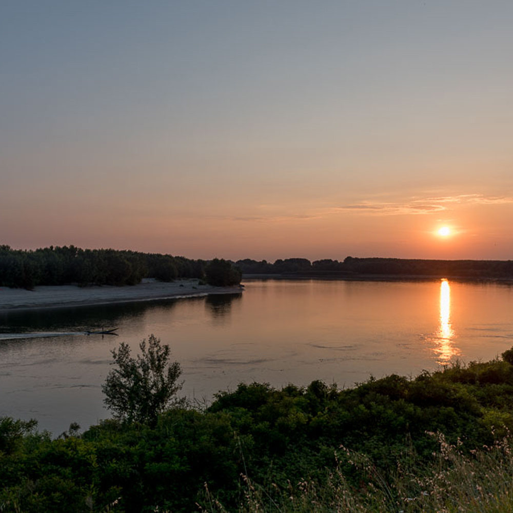
The chirping of the birds, the coolness of the trees, the thrill of seeing marshland fauna: if you like hiking, you can stop at one of the three protected areas in the municipality of Ostiglia.
They are part of the SIPOM (Sistema Parchi Oltrepò Mantovano – Oltrepò Mantovano Parks System) and have several trails, ideal for Nordic walkers.
Here is a brief description!
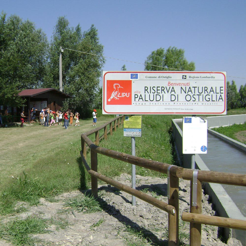
Ostiglia Marshes
Nature Reserve
Established in 1984, it covers 120 hectares in the Municipality of Ostiglia, on the border with the Veneto region; it is home to 175 species of birds, as well as a number of habitats of particular value and rarity, which have led to its recognition at a European level (Natura 2000 European Ecological Network) and worldwide (one of the 51 wetlands of ‘International Importance’ in Italy).
Important animal species include the Lataste frog, bittern and purple heron, marsh harrier, viviparous lizard and marsh tortoise.
Within the protected area, there is a convenient grassy path connecting the visitor centre to the observation points. Access to the reserve is free and permitted at all times of the year, on foot or by bicycle.
There are also observation huts and telescopes for birdwatching.
Boschina Island
Nature Reserve
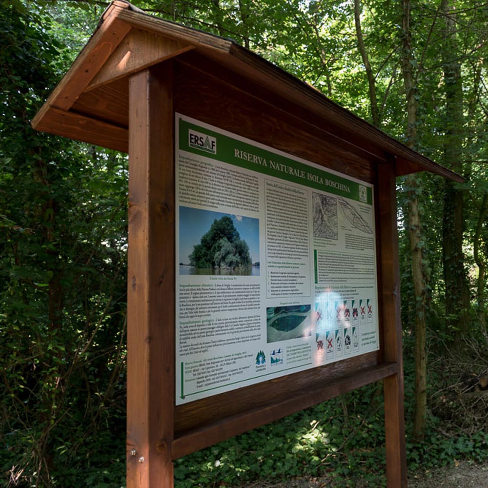
A small island, in the shape of a grain of rice, located in the Po riverbed between Ostiglia and Revere, covering an area of 37 hectares, which can be reached on foot (during dry periods of the river), or by boat or ferry.
The island is part of the Natura 2000 European Ecological Network and is home to an interesting 19th century building nucleus, consisting of a rural building and a villa with the remains of a park. In addition, two monumental poplars of particular aesthetic, cultural and biogenetic value can be admired in the Reserve: the American poplar (Populus deltoides) and the white poplar (Populus alba).
Access, on foot or by bicycle to the island, is free and permitted throughout the year, subject to river levels. There is a self-guided itinerary within the reserve, with information panels guiding you to discover the island’s flora and fauna.
Special Protection Area
‘Viadana, Portiolo, San Benedetto Po, Ostiglia’
With over 7,000 hectares, it is the largest protected area in the Oltrepò Mantovano Park System.
It is home to a rich fauna: more than 200 species of birds (brown kite, osprey, bee-eater); mammals (hedgehog, hare); amphibians and reptiles (crested and spotted newts, green frog, tree frog, common and emerald toads); fish (sturgeon, mullet, eel, carp).
Percorsi di Nordic Walking
Arginello verso Melara
Descrizione dell’itinerario / Description
KM: 12 km
TIPO ITINERARIO: anello – metà su asfalto su strade a bassa percorrenza metà su sterrato in zona golenale ESPOSIZIONE: tutto l’itinerario è molto esposto al sole
PARTENZA E RIENTRO: Piazza Cornelio
KM: 12 km
ITINERARY TYPE: ring – half on asphalt on low-traffic roads, half on gravel in a floodplain area. EXPOSURE: the whole itinerary is very sunny
DEPARTURE AND RETURN: Piazza Cornelio
Download file: Arginello verso Melara.gpx
Download file: Paludi di Ostiglia.gpx
Paludi di Ostiglia - Busatello
Descrizione dell’itinerario / Description
KM: 17 km
TIPO ITINERARIO: anello – ca 10 km su asfalto di cui un breve tratto su strada ad alta percorrenza i restanti 7 km in sterrato all’interno della Riserva ESPOSIZIONE: il tratto su asfalto è molto esposto al sole, quello all’interno della palude è ombreggiato
PARTENZA E RIENTRO: Piazza Cornelio
KM: 17 km
TYPE OF ITINERARY: ring – about 10 km on asphalt, a short stretch of which on a busy road, the remaining 7 km on gravel inside the Reserve EXPOSURE: the section on asphalt is very exposed to the sun, the one inside the swamp is shady
DEPARTURE AND RETURN: Piazza Cornelio
Isola Boschina
Descrizione dell’itinerario / Description
KM: 5 km
TIPO ITINERARIO: anello – metà su asfalto su strade a bassa percorrenza metà su sterrato all’interno della Riserva ESPOSIZIONE: il tratto su asfalto è molto esposto al sole, quello all’interno della riserva è ombreggiato PARTENZA E RIENTRO: Piazza Cornelio
KM: 5 km
TYPE OF ITINERARY: ring – half on asphalt on low-traffic roads half on dirt road inside the Reserve EXPOSURE: the stretch on asphalt is very exposed to the sun, the one inside the reserve is shady DEPARTURE AND RETURN: Piazza Cornelio
Download file: Isola Boschina.gpx
Download file: Isola CIrene.gpx
Isola Cirene
Descrizione dell’itinerario / Description
KM: 9 km
TIPO ITINERARIO: anello – breve tratto su asfalto il resto sterrato in golena ESPOSIZIONE: il tratto su asfalto è molto esposto al sole, quello in golena è ombreggiato PARTENZA E RIENTRO: Piazza Cornelio
KM: 9 km
ITINERARY TYPE: ring – short section on asphalt, the rest on gravel in the floodplain. EXPOSURE: the section on asphalt is very exposed to the sun, the one in the floodplain is shady DEPARTURE AND RETURN: Piazza Cornelio
Isola Mafalda
Descrizione dell’itinerario / Description
KM: – km
TIPO ITINERARIO:
ESPOSIZIONE:
PARTENZA E RIENTRO:
KM: 5 km
TYPE OF ITINERARY:
EXPOSURE:
DEPARTURE AND RETURN:
Download file: Isola Mafalda.gpx
Download file: Naviglio e Fossa.gpx
Naviglio e Fossa
Descrizione dell’itinerario / Description
KM: – km
TIPO ITINERARIO:
ESPOSIZIONE:
PARTENZA E RIENTRO:
KM: 5 km
TYPE OF ITINERARY:
EXPOSURE:
DEPARTURE AND RETURN:
Bassini
Descrizione dell’itinerario / Description
KM: – km
TIPO ITINERARIO:
ESPOSIZIONE:
PARTENZA E RIENTRO:
KM: 5 km
TYPE OF ITINERARY:
EXPOSURE:
DEPARTURE AND RETURN:
Download file: Bassini.gpx
Download file: Le cave.gpx
Le cave
Descrizione dell’itinerario / Description
KM: – km
TIPO ITINERARIO:
ESPOSIZIONE:
PARTENZA E RIENTRO:
KM: 5 km
TYPE OF ITINERARY:
EXPOSURE:
DEPARTURE AND RETURN:

